Data sources:
- Norway: Oljedirektoratet / FactMap
- UK: Oil and Gas Authority / OffshoreMap
- Denmark: GEUS / GEUSmap
- Netherlands: TNO / NLOG-kaart
Good to know:
- Customize a starting location and zoomlevel by bookmarking the URL with parameters. e.g. https://www.pfau.no/bettermap/index.html?lat=56.5&lon=3.2&zlevel=10
If you have a good idea what can be added to betterMap, please get in contact with me.
Follow the quick links on the map:
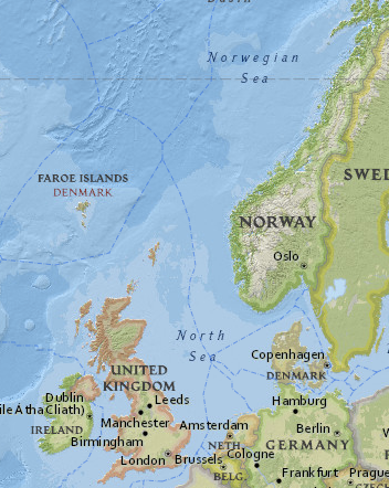
BetterMap pulls in geospatial data from public sources in Norway, United Kingdom, Denmark and the Netherlands.
The goal is to improve data coverage and ease of use of these data sources across the North Sea.
How it worksBettermap runs in the browser using the LeafletJS mapping engine. With the fork from Esri. (the makers of ArcGIS), it is relatively simple to include data from public mapservers. Originally it was intended to include Norwegian and UK data only but dutch and danish data is available as well. Word of caution, the Danish WMS servers are relatively slow and are switched off by default.
MotivationThe NPD FactMap is a tool I frequent almost every day. However it often hides the most valueable information behind a lot of mouse clicks. Same goes for the OGA interactive map, and if you're working in an area close to the UK/NO border finding the right data can be increasingly difficult. Hence, the idea for betterMap was born.